Prototype
Wayside
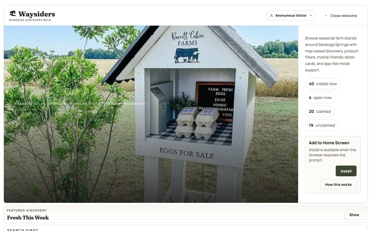
A mobile-first map for finding farm stands and local food while traveling.
- Designed search, map, filtering, and stand-detail flows, built on MapLibre and OpenStreetMap.
- Prioritized the information needed for a quick decision: location, hours, and products.
- Prototyped a contribution flow for adding and correcting listings.